Monday, June 10, 2024

UAV LiDAR, Mapping, Lidar Scanners Canada – LATNET

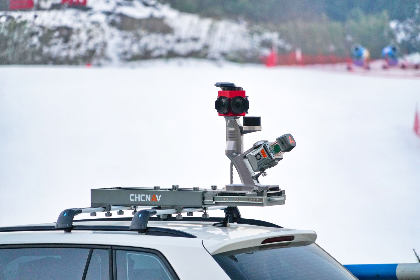
LATNET offers premier UAV LiDAR in Canada. We are experts in delivering comprehensive LiDAR mapping in Canada. For cutting-edge UAV LiDAR in Canada, look no further than LATNET. We are experts in delivering comprehensive LiDAR mapping services and providing the latest LiDAR scanners, helping you achieve unparalleled precision and efficiency in your surveying and mapping projects.

Comprehensive LiDAR Mapping Services

we specialize in UAV LiDAR (Light Detection and Ranging) technology, offering a full suite of services to meet the diverse needs of our clients. Our LiDAR mapping solutions provide high-resolution, accurate topographic data that is essential for various applications, including:

  • Land Surveying: Obtain detailed terrain models and elevation data for large areas quickly and accurately.
  • Forestry: Measure tree heights, canopy density, and biomass with precision, aiding in forest management and research.
  • Construction: Monitor site progress, conduct volumetric analysis, and ensure precise earthworks with our advanced LiDAR technology.
  • Environmental Monitoring: Track changes in topography and vegetation over time to support environmental studies and conservation efforts.

Advanced LiDAR Scanners

Our inventory includes the latest LiDAR scanners, designed to deliver superior performance and accuracy. These state-of-the-art scanners are equipped with advanced features such as:

  • High Point Density: Capture millions of points per second to create detailed and accurate 3D models.
  • Versatility: Suitable for a wide range of applications, from small-scale projects to extensive surveys.
  • Durability: Built to withstand tough environmental conditions, ensuring reliable data collection in any setting

Contact us

Choosing LATNET means partnering with a team of LiDAR experts dedicated to your success. We provide comprehensive support, from initial consultation and equipment selection to training and ongoing technical assistance. Our goal is to ensure you get the most out of your LiDAR technology investment.

More info:- https://latnet.ca/collections/lidar

Call us: : +1 403-397-2210

Phone: +1 403-608-2879

GPS and Surveying Equipment in Canada

LATNET is your one stop shop for GPS surveying equipment in canada. We are dedicated to providing top-quality survey equipment and solutions. Situated in the centre of Calgary, our company is a specialty retailer committed to offering the best survey tools and supplies. As specialists in mapping and geospatial measurement, we provide a wide range of goods. Our crew has years of expertise in the surveying industry, so in addition to being well-versed in our products, they also have a deep understanding of the particular needs of this sector. Our store is your first choice for dependable, high-precision surveying equipment, regardless of whether you work as a professional surveyor, are employed by an engineering business, or are in the construction industry.

Reliable surveying equipment, LATNET stands out as Canada's premier one-stop shop. Specializing in GPS surveying, land surveying, and construction surveying equipment, LATNET is dedicated to providing top-quality products and comprehensive solutions to meet the diverse needs of surveying professionals across the country.

Comprehensive Range of Surveying Equipment

We understand that accurate data is the cornerstone of any successful surveying project. That's why we offer a wide range of state-of-the-art surveying equipment, including:

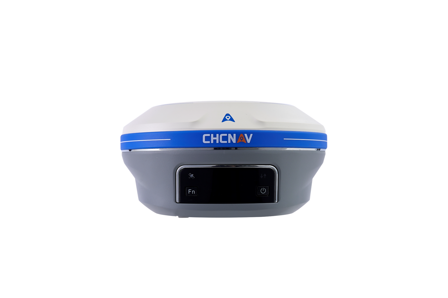
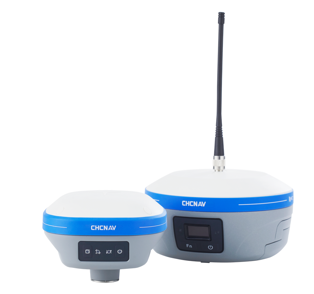
  • GPS Surveying Equipment: Our advanced GPS systems ensure pinpoint accuracy, making them ideal for geospatial measurements and mapping. We carry the latest models from leading brands, ensuring that you have access to the most reliable technology on the market.

  • Land Surveying Tools: From total stations to theodolites, our selection of land surveying equipment is designed to deliver precise measurements and facilitate efficient workflows. Whether you're marking boundaries, preparing topographical maps, or conducting site surveys, we have the tools you need.

  • Construction Surveying Instruments: Precision is paramount in construction surveying, and our equipment is built to deliver. We provide robust, durable tools that can withstand the rigors of construction sites while delivering accurate readings every time.

Quality and Service You Can Trust

LATNET is committed to excellence in both the products we offer and the service we provide. Our team of experts is always on hand to help you choose the right equipment for your specific needs, ensuring that you can complete your projects with confidence and accuracy.

We also offer comprehensive training and support services, helping you to get the most out of your investment. Whether you're new to surveying or a seasoned professional, our training programs are designed to enhance your skills and knowledge.

Why Choose LATNET?

  • Expertise: With years of experience in the surveying industry, our team has the knowledge and expertise to guide you in selecting the best equipment for your projects.

  • Quality: We only stock products from trusted manufacturers, ensuring that you receive reliable, high-quality equipment.

  • Customer Support: Our commitment to customer satisfaction means that we are always available to provide assistance, from pre-purchase advice to post-purchase support.

  • Innovation: We stay abreast of the latest technological advancements to bring you the most innovative solutions in the field of surveying

Contact LATNET Today

For top-quality GPS surveying, land surveying, and construction surveying equipment in Canada, look no further than LATNET. Visit our website or contact us today to learn more about our products and services. https://latnet.ca/ be your trusted partner in achieving surveying excellence.

Call us: +1 403-397-2210

Phone: +1 403-608-2879

UAV LiDAR, Mapping, Lidar Scanners Canada – LATNET

LATNET offers premier UAV LiDAR in Canada. We are experts in delivering comprehensive LiDAR mapping in Canada. For cutting-edge UAV  LiDAR ...